

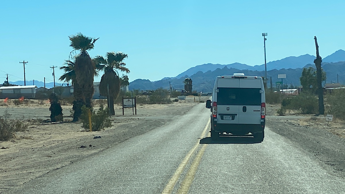
Having seen the sights in Kingman the day before, we wasted no time hitting the road and continuing west on Route 66. In no time at all, we were back in the desert wilderness.
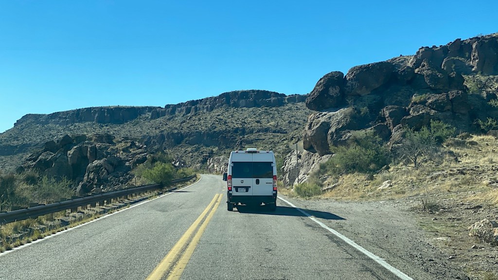
From the various alignments of Route 66 we could choose, we took the Oatman Highway. At the time, I didn’t realize that this road was featured on Dangerous Roads, but there we were. Honestly, Mount Washington was steeper, but the Oatman Highway was just as challenging, including steep drops with nothing to stop you from going over the side except your wits. Needless to say, I wasn’t taking pictures while I drove.

We pulled over at a parking area to take in the stunning view. We were surprised to walk to the top of the hill and see a variety of memorials up there.

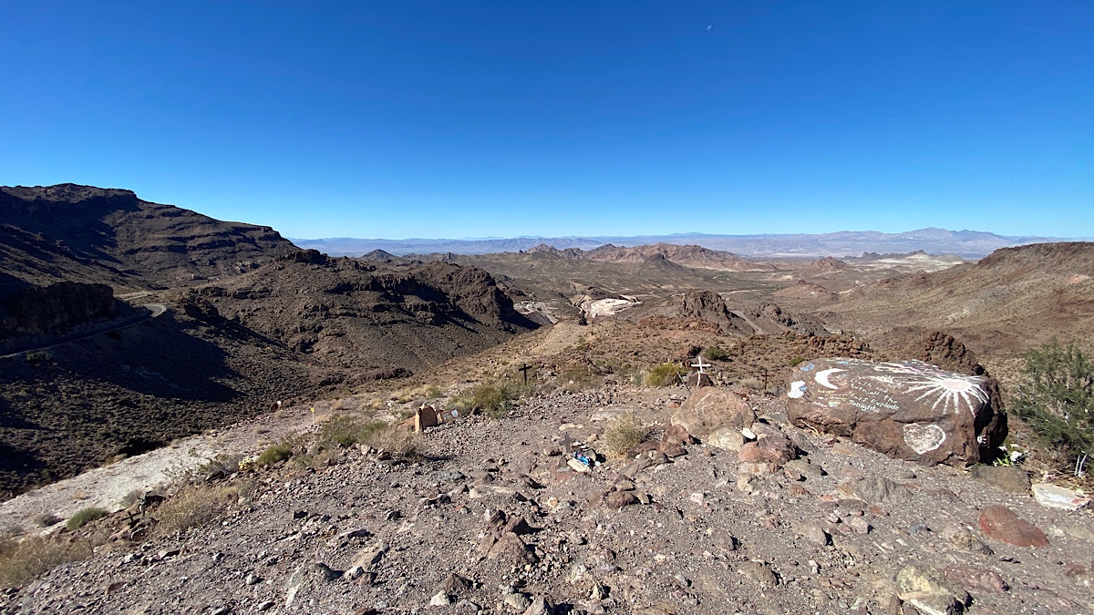

I hadn’t expected to see this, but once I thought about it, what an amazing place to be memorialized. The views are stunning, and the road is epic.
Speaking of which, I have to come back here sometime and explore this area by motorcycle. Not only would the Oatman Highway itself be a fun ride, so would the numerous dirt roads and trails leading off of it. My KLR650 is well equipped for both types of riding, having previously done both off-road trails as well as the Tail of the Dragon and a track day. There’s also no shortage of places to simply pull over and spend a night or ten, as many campers and RVs have done farther down the road.

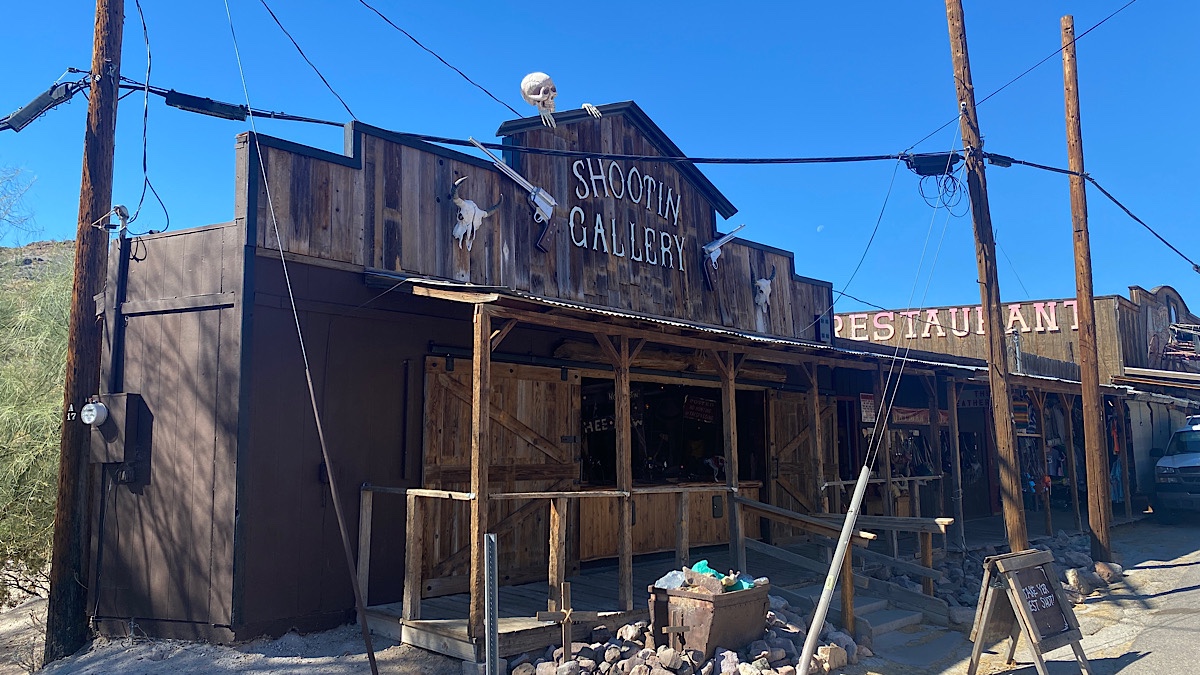


We found a place to park in Oatman, got out, and walked around. This place has barely changed since it was an old west town. It capitalizes on that, with tourist traps all up and down the main road. It was fun to explore. With absolutely no planning or knowledge whatsoever, we even arrived in time for the outlaw shootout show, a fundraiser for Shriner’s.
I even got drafted by one of the gunfighters to stand in the road behind him to help block what little traffic rolled up during the show. When a gunfighter tells you to stand right here, you do what he says — and hope they’re firing blanks. (They were.)


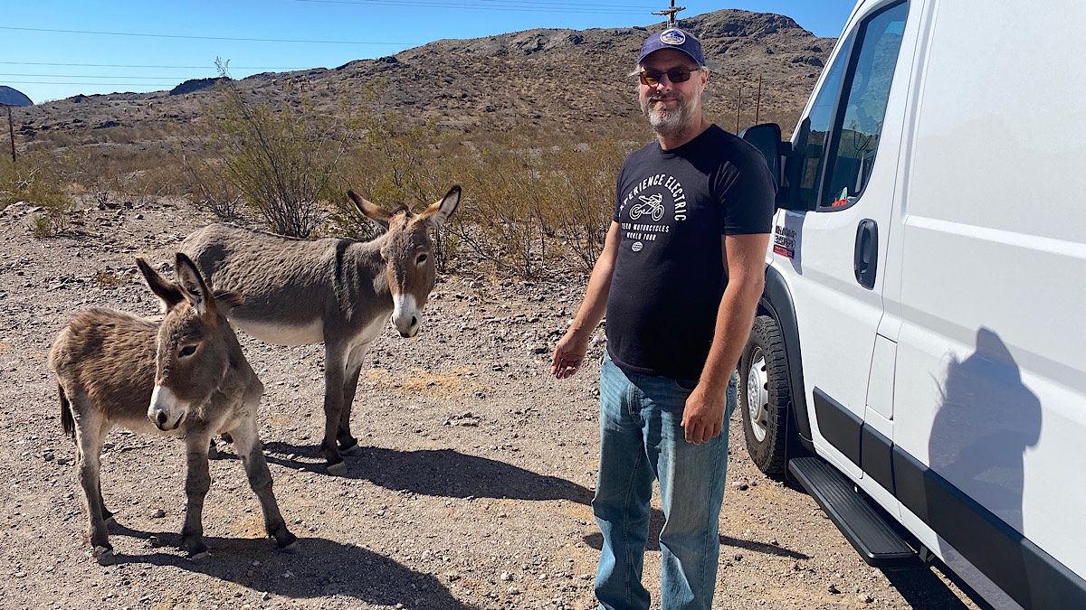
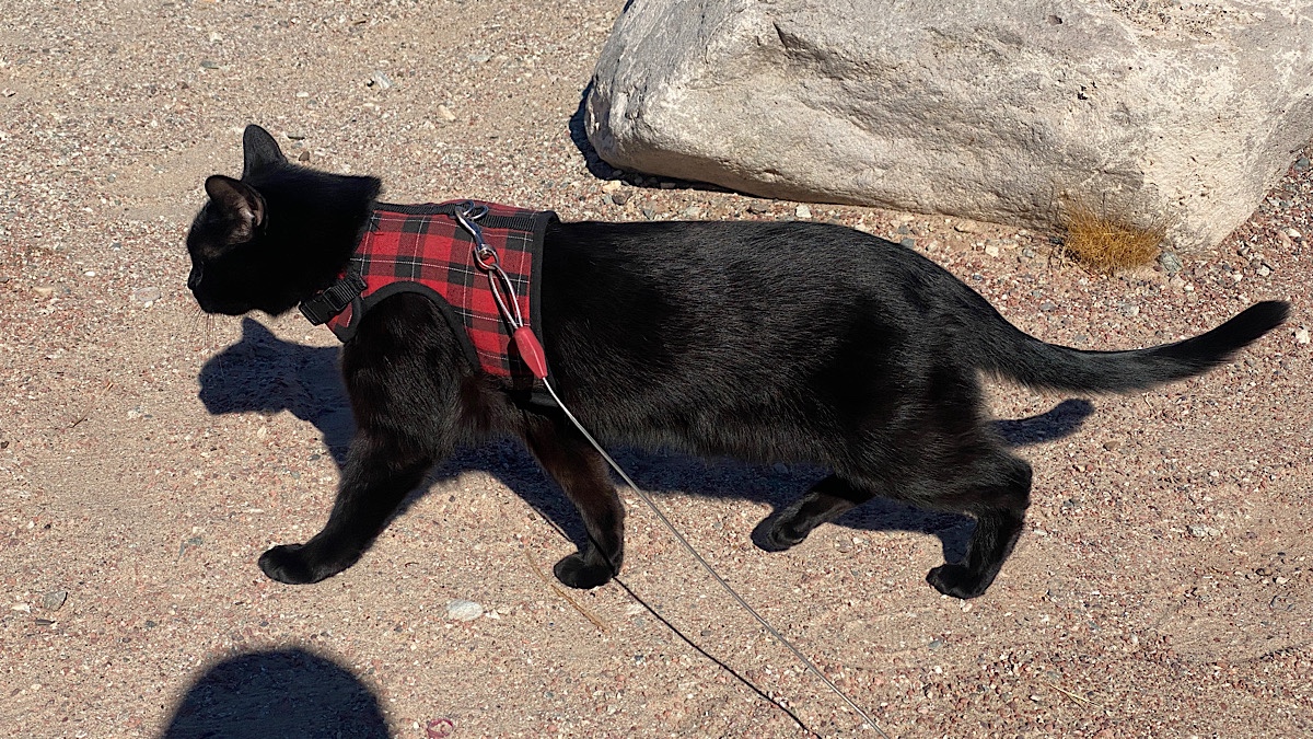
Oatman is also known for the wild burros in the area. The locals say they rarely come into town anymore, but we encountered them both entering and leaving. They’re pretty friendly, but the locals warned us they might attack Birgit and Tom’s dog if they saw her, fearing she might be a coyote. Aside from walking up and down Main Street, they kept her inside the van.

The next thing we knew, we were at the Colorado River, about to cross into California. We refueled on the Arizona side, then crossed into the final state of this journey. We soon pulled into a small parking lot overlooking the river that we found recommended on iOverlander as a good overnight spot. They were right.


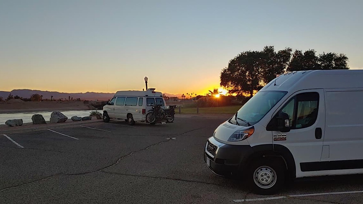
This is an emotional moment for me. I’ve never been to California until now. It also represents the near-end of my Route 66 journey. It’s not sad, but a feeling of accomplishment. I’m not done yet, but I’m almost there. Just a little bit further to go.
But it is the end of the Route 66 convoy. This is the end of the line for Birgit and Tom, who are heading south to Quartzite from here. We said our goodbyes this morning, with promises to keep in touch and to meet up when I get to Quartzite myself. For now, though, I need to finish my journey, alone.
