
I worked in the morning, helped Eldon move a couch out of the fifth-wheel camper that will be his new home, then said “See you down the road.” It was another warm day, but not as hot as Wednesday, plus the van has good air conditioning while I’m driving. I’d tried to reach my friends in Columbia City, Indiana, where we finished the mad dash to build Smokey I after the fire. It would’ve been good to have an actual social visit instead of them helping me out in an emergency, but I never heard back from them. So I set a course directly for Danville, Illinois to visit Meg again, a repeat from my last trip through the Midwest. Google said it would be another five-hour drive, a long driving day for me, but based on the trip to Ohio I knew Lister and I were up for it.
I left highways enabled in Google Maps just to get around cities like Toledo and Fort Wayne a bit easier, but the vast majority of my trip was on state and US highways, not major interstates. I passed through quite a few quaint small towns, which was fun. Being able to do this is precisely why I typically avoid major highways in the first place, so it was nice to have both on this trip. I had a strong headwind which noticeably hurt my gas mileage, cutting it from the 14 MPG I’d seen on my way from Massachusetts to Ohio down to 12, even across flat ground. (That’s still better than the 10 MPG my old van got while towing.) At some points, the van wouldn’t even upshift to top gear at highway speeds because it was working so hard against the headwind. Fortunately, despite its taller height than my previous van, Smokey II handled the occasional crosswind quite well. It was easier to control and recover when I got blown slightly off course. It handles more like a big car than a truck, which helps.
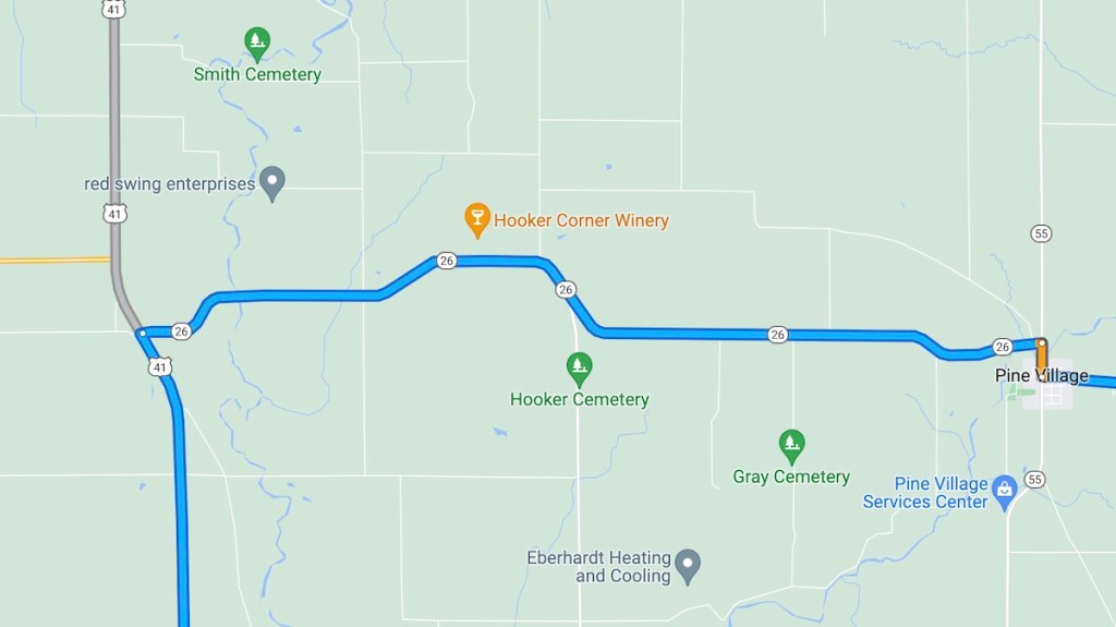
The only problem I had was here, on Indiana Route 26 between Pine Village and US 41. The road is closed, with no detour route posted. Google refuses to believe the road is closed. The alternative routes it gave me involved some massive backtracking, which I didn’t believe was the best way to go after seeing several roads paralleling 26 all the way to 41. So, after managing to use a couple of driveways to turn my van and trailer around, I took them.
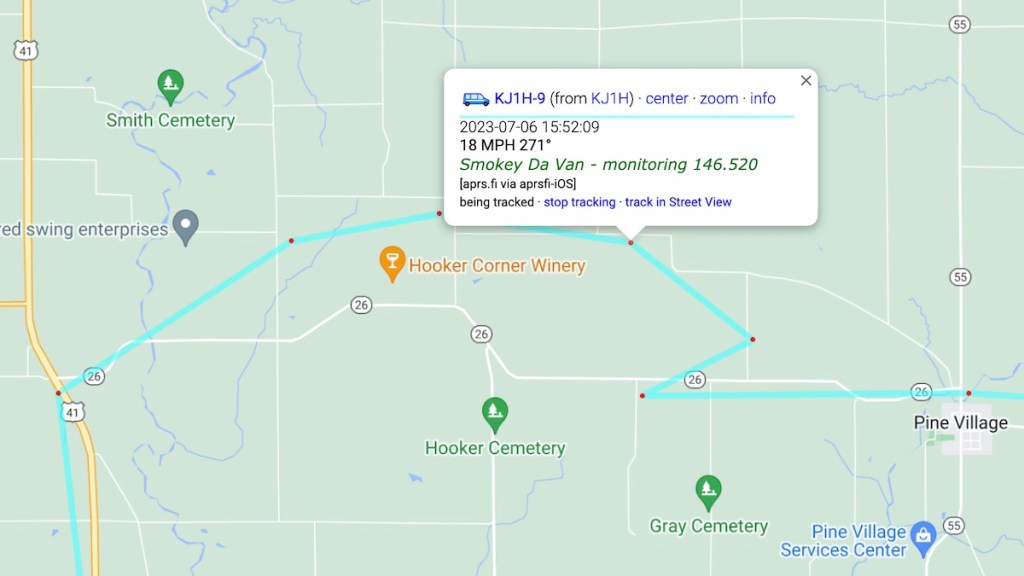
Here’s the approximate route I used for my bypass, based on my APRS track. It turned out to be gravel roads around the numerous farms in the area. It was slow going, about 20 mph when I was supposed to be doing 55 on the main road. It added about half an hour to my trip. But I successfully navigated my own personal detour, got to US 41, and continued on my way. At least I had a cell signal to consult Google Maps. While its navigation was useless here, I could at least look at the map myself and find a way through. I’d also downloaded maps for this trip to Sygic in case I found myself without a signal.
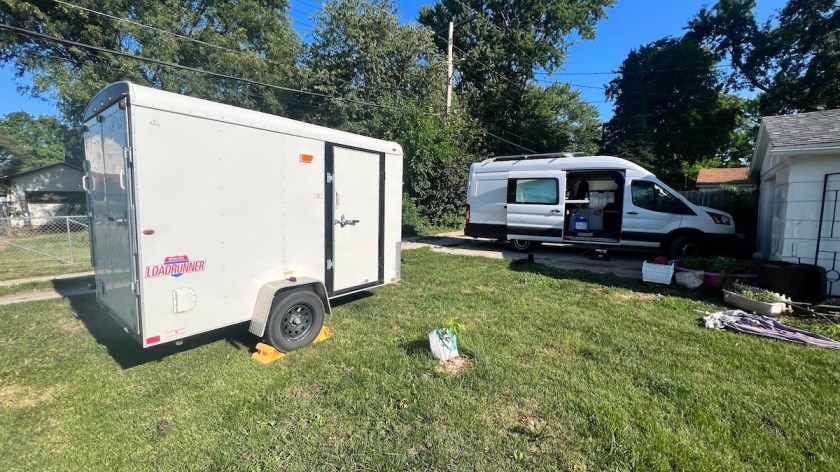
Meg has moved across town since my last visit, so figuring out how to park and set up was a new adventure. We pruned a few trees overhanging the alley to her driveway that were too low for my van to pass safely. It was tight, but I managed to drop the trailer in her backyard after unloading my bike, then parked in her driveway. I’ll be here through the weekend, taking a few days off the road before pressing on to the west. I’ve traveled about 1,000 miles this week, which is nothing to sneeze at, and probably faster than I’ve ever put miles behind me before. It’s good to know I can do it if I have to, but I prefer to travel more slowly, so I’ll be slowing down from here on. One of my projects to work on while I’m here will be figuring out the next big chunk of my route west.
